Drone airborne surveying services

LiDAR, photogrammetry and specialised sensors for projects in Romania and the European Union.

LiDAR + RGB

Main services

LiDAR and photogrammetry for surveying, infrastructure, construction, GIS and progress monitoring.

LiDAR point-cloud profile and terrain model.

3D LiDAR scanning for topography and infrastructure

We collect point clouds for DTM/DSM, contour lines, profiles and CAD/GIS documentation. Accuracy and density are established for each project.

We plan the sensor, altitude, flight paths and control points according to the terrain and requested deliverables.

Orthophoto obtained from aerial images for photogrammetry and mapping.

Photogrammetry and mapping

RGB photogrammetry produces orthophotos, 3D models and photogrammetric point clouds for surveying, GIS, construction and monitoring projects.

For a quick estimate, start with the area or section in the quote calculator and add the project's technical requirements.

UAV + SENSOR

Specialized sensors and measurements

The sensor, platform and collection method are determined according to the technical objective and site conditions.
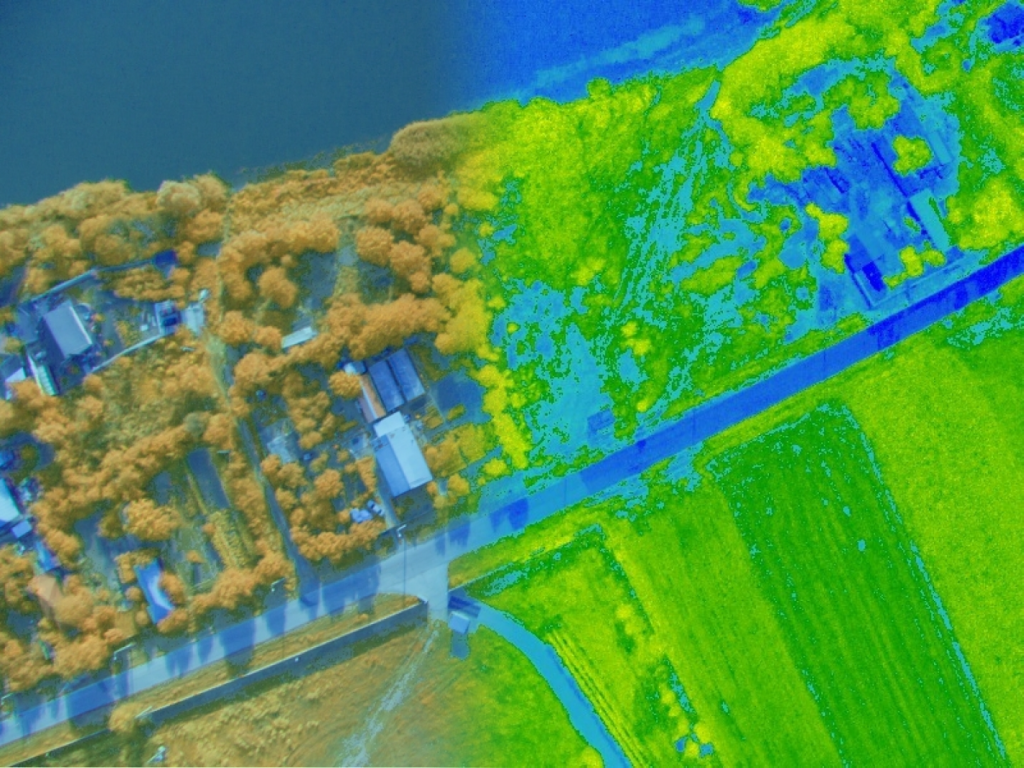
Multispectral Vegetation Analysis

We prepare vegetation maps and indices for the requested analysis.

For the technical assessment, we specify: sensor, bands, calibration and field verification.

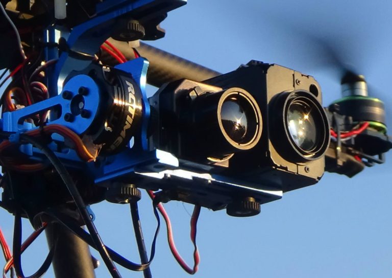
Radiometric thermographic result of an aerial inspection.

FIR and Visible Thermal Aerial Inspection

We map temperatures or thermal differences according to the configuration and objective.

For the technical assessment, we specify: radiometry, acquisition conditions and interpretation limits.

Technical image: Professional airborne surveying services — FAE Drones

Monitoring gases and atmospheric variations

We collect georeferenced values using a sensor selected for the target gas.

For the technical assessment, we specify: compound, unit, calibration, detection limit and sampling geometry.

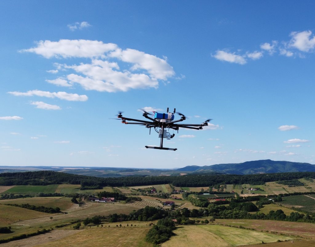
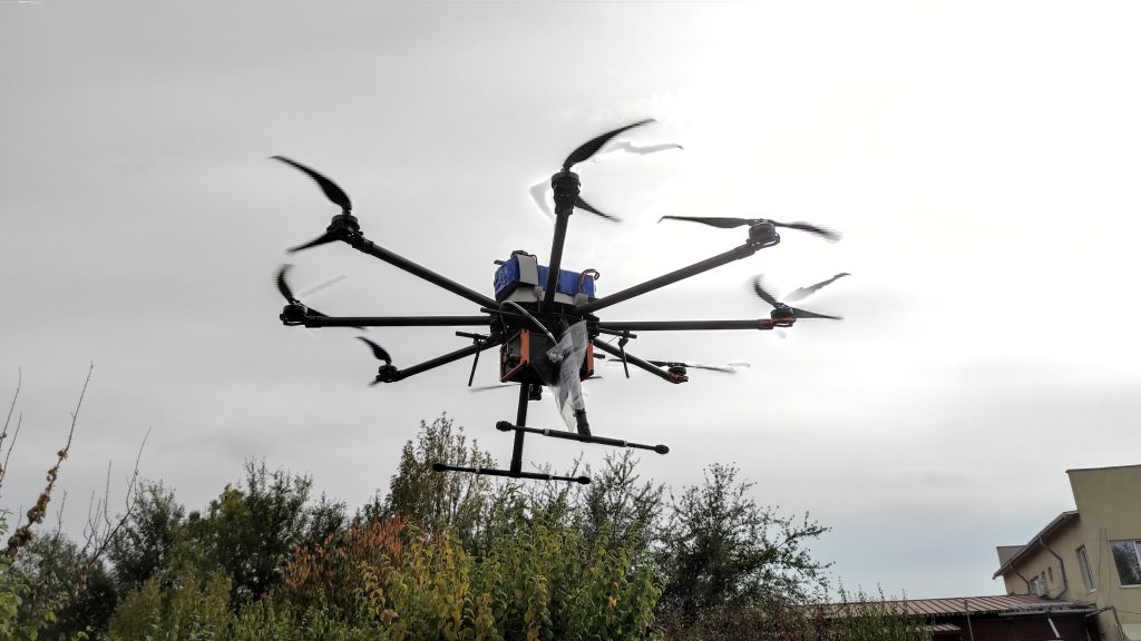
FAE Predator drone in flight, with the magnetometer boom visible.

High-Resolution Airborne Magnetometric Surveys

We map variations in the magnetic field for the agreed investigation.

For the technical assessment, we specify: objective, sensitivity, height, interference and interpretation.

Ionizing Radiation Detection

We collect georeferenced radiometric data for documentation and the assessment defined in the project.

For the technical assessment, we specify: measurement type, units, calibration, limitations and interpretation.

What we clarify for specialised sensors

Gases
Compound, unit, calibration, detection limit and sampling geometry.
Magnetometry
Objective, sensitivity, height, interference and interpretation.
Ionising radiation
Measurement type, units, calibration, limitations and interpretation.
Multispectral
Sensor, bands, calibration and field verification.
Thermal/radiometric
Radiometry, acquisition conditions and interpretation limits.

The acquisition and analysis actually contracted determine how the data can be used. Measurement does not automatically constitute a complete diagnosis or a certificate of conformity. Specialised requirements are assessed individually.

Technical assessment
FAE Partner

The aerial component for your surveying firm

Subcontract LiDAR and photogrammetry while retaining your client relationship. FAE can complement your existing drones and team with an additional survey, a fixed-wing platform or sensors suited to the requirement.

View the FAE Partner programme
Back to top